STORM SIM has developed a new version of NPCNS Navigation Plotting and Celestial Navigation Simulator
27.09.2024
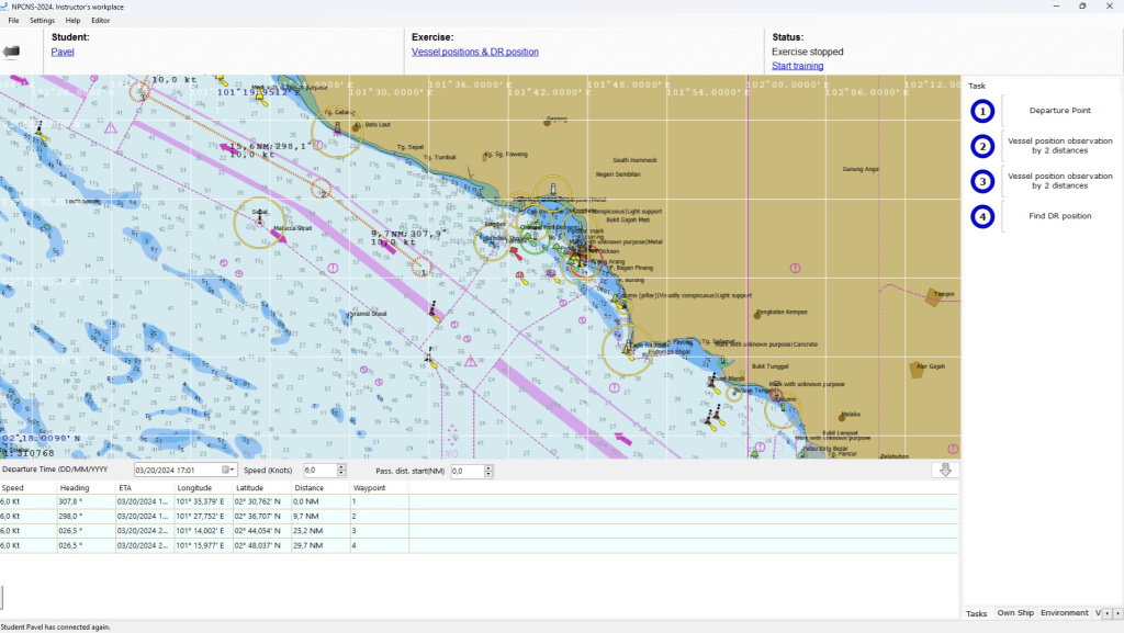
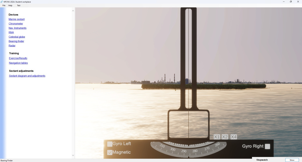
Our company has developed a new version of the NPCNS (navigation plotting and celestial navigation) simulator, designed to train cadets in the navigation specialty and acquire practical skills in:
The software version 2.0 includes:


The standard set contains two areas with visualization of the surface situation "St. Petersburg" and "Singapore" along with methodological guidelines and standard exercises. Other areas are supplied at the Customer's request. Exercises for them can be developed independently using the exercise editor built into the Instructor Workplace. The full list of areas:
Measurements can be performed on different cargo and small craft vessels (15 models).
- Working with the "printed" nautical chart.
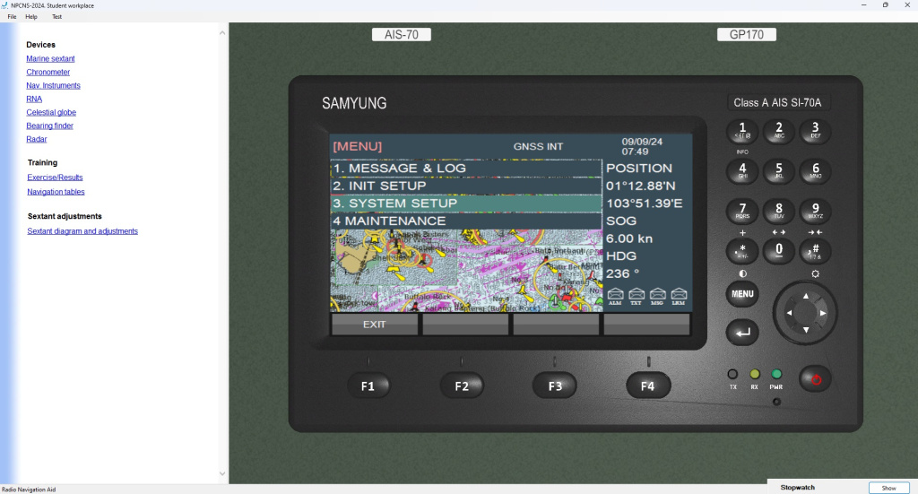
- Position fixing with the use of different methods with the application of simulators of navigational equipment.
- Execution of preliminary route plotting and route monitoring.
- Conducting of main types of navigational calculations, required during the vessel is on the way.
- Using of astronomical instruments and teaching aids for the aims of vessel’s position fixing and heading indication system adjustment reckoning in real time mode.
The software version 2.0 includes:
- new navigation areas and corresponding vector nautical charts,
- new models of navigation instruments.


The standard set contains two areas with visualization of the surface situation "St. Petersburg" and "Singapore" along with methodological guidelines and standard exercises. Other areas are supplied at the Customer's request. Exercises for them can be developed independently using the exercise editor built into the Instructor Workplace. The full list of areas:
- Bosphorus Strait (Turkey)
- Takoradi (Ghana)
- Strait of Gibraltar
- Surabaya (Indonesia)
- Tangier Mediterranean Sea (Morocco)
- Rostock (Germany)
- Viano de Castelo (Portugal)
- Temryuk (Russia)
- St.Petersburg
- Singapore.
Instructor and Student workplaces now display vector charts, instead of raster ones.
Measurements can be performed on different cargo and small craft vessels (15 models).
New navigation areas can be developed to order.
Back to the list
